Day 2 was not necessarily a day I had been looking forward to. I knew there would be hours of deep, hot sand, sagebrush and lava rock in the second half of the day. Once past American Falls, there would be no relief from the sun and heat until Arco. I'm sure I would enjoy it more in the winter, but for a non-desert rider like me, it's not a great place to ride in early August. Martin had been strongly recommending a pre-dawn start from Pocatello in order to get through the desert in the morning hours, but I've never been much of an early riser, so I figured I'd just make sure I had plenty of water and deal with it. I hadn't slept well the previous night, so I wasn't going to short myself on the rest I needed.
I had a nice, peaceful breakfast at the Rodeway that morning -- plenty of coffee, juice, cereal and fruit. It was the only motel along the way that had a free breakfast, so that was a nice way to start the day.
 |
| Wralf all packed up and ready to go on Day 2 |
I had gassed up and tightened my chain a bit the night before, so I was all ready to go. The night in Pocatello was the only time that I removed all my luggage from the bike for the night. After undoing the straps, I was surprised at how heavy my luggage was. It was mostly due to packing what was probably more snack food than I needed. Starting out on Day 1, my entire left saddlebag was packed full of trail mix, protein bars and energy shots (Costco 5-hour energy knock-off), and it seemed like I had hardly made a dent in it through the first day. Next time I'll probably carry less than half as much from the start and resupply along the way more often.
It was a beautiful, sunny morning in Pocatello. I got my gear all packed and hit the road. Day 1 keeps you fairly close to civilization the whole way, but Days 2 through 6 have a whole different feeling. Once you leave Pocatello, there's definitely a more palpable feeling of heading off into the sparsely-populated unknown where any number of problems could leave you stranded for many, many hours or even more than a full day. My rescue vehicle and driver were in Hayden, so I wasn't counting on a fast response, that's for sure. But the further along the Tour I went, I was closer to home. I was just praying to not have a major issue early in the ride where I'd have to sit and wait for who knows how long.
 |
| Lots of bicycle tracks on these trails |
The first trails started within just a few miles out of town. I could tell that they were most often used by bicyclists, so I rode carefully (a little slower than I could have) to try to avoid any unnecessary confrontations. Sometimes they're nice folks who seem pleasant enough -- other times you get the stink eye. I know that, officially, we are equal users on these trails, but sometimes I think we dirt bikers are looked at as intruders who don't belong. I'm sure that every hiker, cyclist and horseback rider has had past experiences with boneheaded dirt bikers who didn't show the proper respect and courtesy. So in my view, I need to show an extra level of respect and friendliness to make up for those bad experiences. At least they'll know that not ALL dirt bikers are dirt bags. ;-)
 |
| Nice spot along Slate Mountain trail |
 |
| I asked Al what he thought of this trail... he nodded his approval |
 |
| She wasn't happy to see me |
As I was dropping down toward the trail head on the other end of the Slate Mountain trail, I came up on a bicycle rider and her dog a little faster than I had intended. As I slowed the bike down and tried to move as far to the right as I could to avoid her, the back end skidded and the bike slid sideways a bit, so I probably looked more out of control than I actually was. I think a yelled a quick "Hi! Sorry!" as I went by. My hands were busy controlling the bike, so I couldn't wave. I was as friendly as I could be, but I still got the stink eye. Oh well.
 |
| The stereotypical Subaru at the trail head |
When I came out at the trail head parking lot, it wasn't really a surprise to see that she owned a Subaru wagon. By far, this is most common vehicle these folks seem to be driving. What is it with naturalists and Subarus? LOL.
The next trail led me up Scout Mountain, which was a very nice trail that climbed higher in elevation, so there were a few more trees and a little less sagebrush. I enjoyed the view, snapped a few pictures and had a snack, knowing that the desert was still ahead.
 |
| Scout Mountain |
It wasn't long after dropping down off of Scout Mountain that I entered the next section of trail. Racetrack Trail is a few miles of fast, well-used ATV trail. As you're riding these trails, you're mostly surrounded by trees and tall brush and there aren't any prominent mountains in sight, so getting a feel for navigation and which direction you were going at any given time was difficult. I came to several major intersections of different trails, but could easily see on my navigation screen which way to go each time. In such a maze of trails in all directions, it really hits home how revolutionary GPS navigation is for off-road riding. The entire Tour of Idaho would have been almost impossible just a few years ago. And not only do I have access to all the maps for the entire route on my GPS navigation device, but there's also a giant cursor right in the middle of the map to let me know "you are here". Paper maps could never do that. ;-)
 |
| Long road section in farm country between mountain ranges early on Day 2 |
 |
| "Desert View" challenge point |
After many miles of roads through a lot of nice farm country, I climbed up to the "Desert View" challenge point, which was a small hilltop viewpoint just off of the primitive two-track I had been following. This is where you get your first good look to the west and north out into the desert that's ahead. I knew that from here it would just get hotter and more desolate. As I crossed that last mountain range and dropped down into the farm country south of American Falls, I could feel the temperature climbing. It was almost noon and it was already around 90.
 |
| Al says, "Gosh it's hot... are you sure it's smart to hit the desert at mid-day?" |
Riding on the country roads heading north toward American Falls, you can't help but notice the spectacular wind turbines. The pictures I got just don't do justice to the size of these things. This is called the "
Rockland Wind Farm". It was built in 2010 and consists of 44 turbines. Unfortunately, it is the subject of
some controversy in the area.
 |
| Wind farm south of American Falls... pretty impressive |
 |
| This picture doesn't even come close to showing how huge these things are |
 |
| Trying to find a power outlet to charge my phone |
 |
| "Lake Channel" challenge point |
I stopped in American Falls at a gas station/convenience store and gassed up, and had a snack and a cold bottle of water to prepare myself for the desert.
In getting ready to write this, I've found that I sure didn't get many pictures of the hours spent in the sandy sections of the desert. I think I was more concerned with keeping my bike upright while not expending too much energy and not making costly mistakes. While the "Lake Channel" challenge point may sound cool and refreshing, it was a dry disappointment -- like a cruel mirage. LOL.
Riding what felt like miles of sandy whoops was more physically draining than I expected. I've heard from other, more experienced desert riders that you just need to pin it (dirt biker lingo for "full throttle baby!") and ride the tops of the whoops, but I could never seem to get the technique figured out without feeling like I was hammering my bike and my body. I was standing up to keep my weight back as far as possible through the sand and trying stay on the throttle as much as I could to lighten the front end, but I couldn't just pin it and go faster. So I just rode through every single whoop -- whomp... whomp... whomp. It was slow going and pretty physically draining, but at least I was still putting miles behind me.
There were large expanses of flat and mostly featureless sagebrush-covered ground. I spent part of the time following single-track cow trails, and part of the time on two-track primitive roads. Following the GPS route exactly as it appeared on my navigation screen became harder and harder, so I just jokingly repeated to myself what Martin had communicated to the riders -- "just zoom out your GPS and you'll be fine". That became my new mantra any time it appeared that I was going off-route. Just zoom out and you'll be fine. If it still doesn't look good, just zoom out some more and keep going. I zoomed out a lot in the desert.
I ended up wandering a lot in a zig-zag pattern. I would be on a decent trail, following fairly closely on the route. Then after only a few hundred yards, the trail would just disappear or start leading me far away from the route. Then I would just go off through the sagebrush, making my own trail while going at an angle back in the direction of where the line on my navigation was. And again, I was reminded of how amazing GPS navigation is. With the sun high in the sky, and no familiar landmarks on the horizon, I could easily get lost in an area like this. But I just kept going in the general direction of the route, zooming out as needed.
The temperature was in the mid-90's that whole afternoon, which is a "mild" August day out there, from what I understand, but it sure felt hot to me. I had plenty of water, but it was warm and didn't help to cool me down. All my snacks were melting, so I was eating deformed protein bars and trail mix with M&M clumps for the rest of the Tour. LOL. At one point I realized how hot my black boots were on my feet, and started to understand why guys who ride in that area wear lighter colors. Just about all my gear is black, so I'm sure that didn't help.
I remember feeling so relieved when I reached the edge of the primitive area I'd been riding in and came to a large area of farmland with gravel roads! Wow, this is like a highway! Going through that last gate (did I mention all the barbwire gates?) and starting up the road sure felt great. With the crops and irrigation in the area, the air was cooler. And it had been hot and slow-going for the last 2.5 hours. Being able to go 50 mph with the temperature being a couple degrees cooler was a big relief and I was making some good time.
So here's another "too much information" tidbit. It was probably around this time that I discovered an extra feature of my riding gear that helped me stay cooler. My riding pants are advertised as having two zippered vents, with one on each thigh. But I don't think many people realize that there's a third one right in the middle that really helps a guy on hot days. It sure felt better having that third zipper opened up and I rode that way the rest of the Tour.
 |
| Wralf has an appetite for gluten |
At the north end of the farm country, I had some confusion about where to go. The route led me to the middle of a wheat field where it just dead-ended. I didn't want to turn around and backtrack, so I just took the shortest route possible through the field toward a road on the other side. I felt bad doing it -- I was riding through wheat that looked almost ready for harvest and was higher than my handlebars. There was wheat caught in every little nook and cranny on the bike (see pic). I'm sure the farmer wasn't very happy to see dirt bike tracks through his field, but hey, I was on an important mission... I had to get to Canada!
 |
| There were many, many miles of this... |
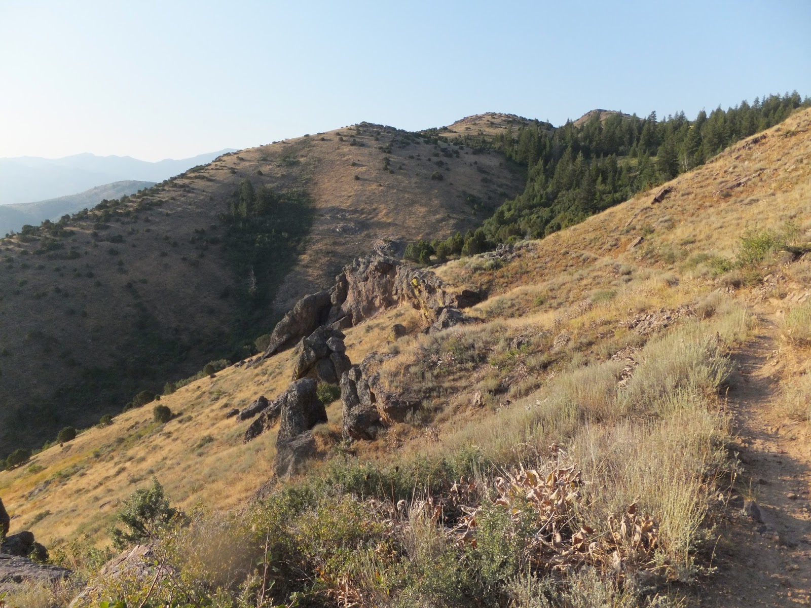
I had been in this farm country for about 20 miles and had cooled down a bit and was happy with my progress, but now I was back in the sagebrush, alternating between decent gravel roads and primitive two-track jeep roads. The route seemed to favor the most primitive trails available, which was frustrating at times. I'd come to a fairly nice section of road and actually make some good time for a couple minutes, but then I'd look down at my navigation and see that I had missed a turn. I'd turn around and go back and find that the route followed some cow trail and I'd be back to going slow while watching for hidden, sharp-edged lava rock that could puncture a tire. This process repeated several times -- good road, podunk trail, good road, podunk jeep trail. But I was always putting miles behind me, so that kept me motivated to keep pushing on.
 |
| Just barely seeing Big Southern Butte in the distance |
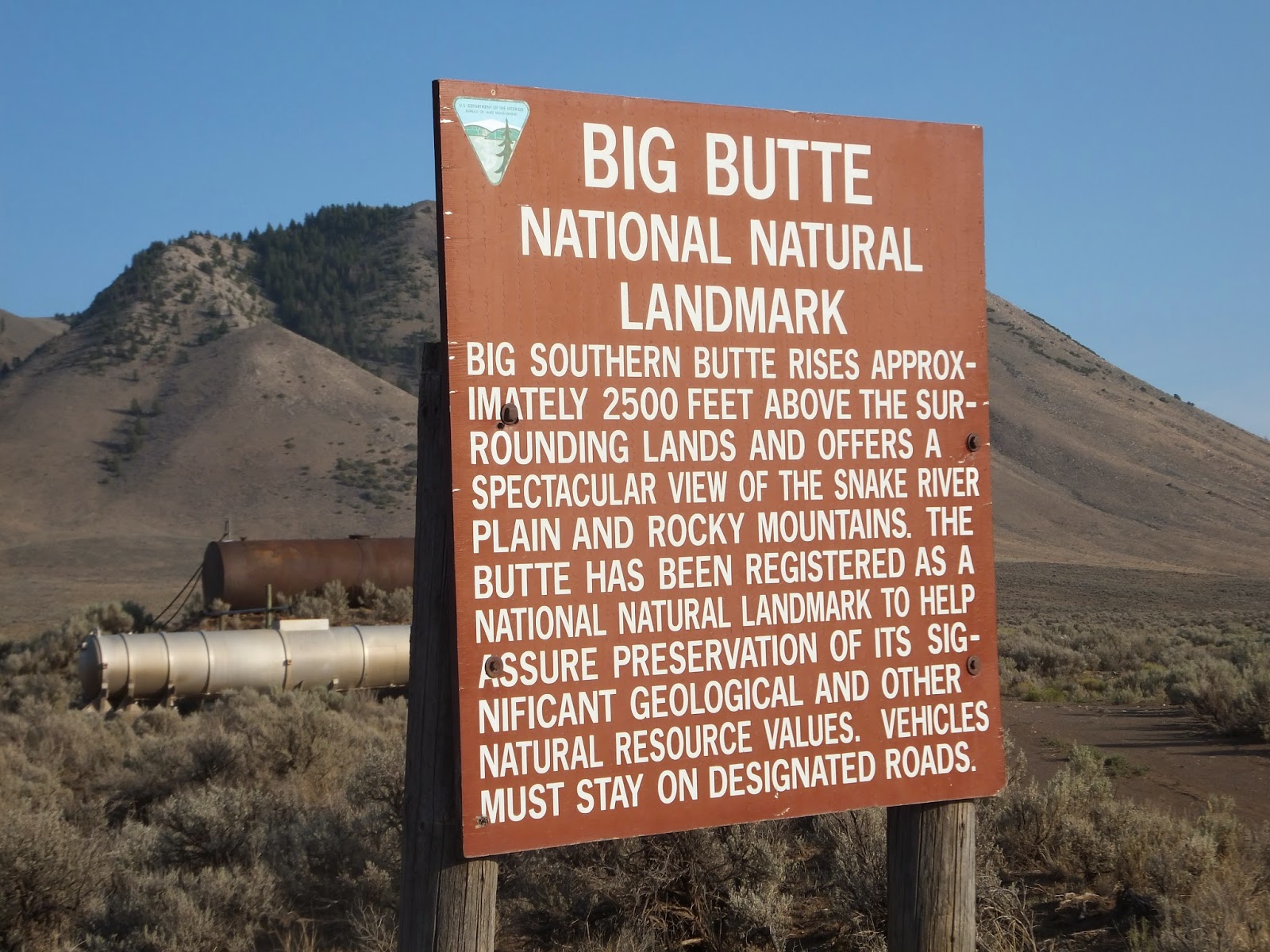
After a bit, I started noticing the major landmark that would be in view for hours -- Big Southern Butte. I had read about this on a few different ride reports -- while out in the desert you can barely make out a large mountain in the far, far distance to the north. "That can't be it... it's too far away." But that IS it, and you just have to keep going and going and going, and you'll eventually get there. There was so little to see on the horizon in the desert to this point, so it was actually nice to have that goal in sight and to watch it get closer and closer.
 |
| A little closer... |
 |
| Now we're getting there! |
 |
| Close to the top |
It was so nice to finally reach the butte and start climbing. I knew that once I made it to Big Southern Butte, the day was almost over and I had made it through the toughest parts of Day 2.
The road climbing the butte starts in a canyon on the northwest side of the mountain. This canyon is deep enough, and it was late enough in the day, that it was actually shady and cool. Man it felt great. I raced all the way up as fast as I could.
Once I got fairly high on the mountain, the temperature cooled down and the feelings of being stuck in the hot desert just melted away, so to speak. ;-)
 |
| Looking straight off the south side, in the direction from where I'd come... very steep off of this spot |

There was a short little road going just off to the southwest side of the top to a wide landing. It looked like this was a popular spot for hang gliders. It was extremely steep off of this spot on three sides, so folks could launch off of here in whatever direction they needed to, depending on the wind direction. It looked like a great spot for hang gliding... I might need to try it some day.
After coming down off the butte, I was in race mode the last 30 miles down into Arco. I knew I had an air-conditioned room and good food to look forward to. I was pretty drained after the day in the desert, but I knew that the Tour was going to get a lot better for me after this. Starting on Day 3, according to what I had heard and what I could see on the maps, there was going to be a lot more beautiful trails and scenery in the mountains. I was really looking forward to the rest of the Tour.
 |
| The sail of the USS Hawkbill |
I stayed at the Lost River Motel. Right outside of my room, I could see Arco's "
Submarine in the Desert", which is a pretty interesting landmark.
As I was unpacking my bike and moving my things into my room, I heard a couple of bikes across the street. I looked up and saw Shawn and Mike just pulling into Pickle's Place for some dinner. They looked like they had already been in town for a while, since they looked clean and showered and were wearing their off-duty garb that we all had -- a t-shirt, shorts and sandals. Not exactly ideal riding gear, but plunking around a little town after what we'd been going through each day... well, ideal safety standards just didn't seem that important.
After I got cleaned up, I jumped on the bike to go find some food. I saw Shawn and Mike at a gas station, so I pulled in to visit. I hadn't seen them all day (I hadn't seen ANY human being since American Falls), so I was eager to see how things had gone for them. I told them that the day was fairly tough for me, but I was looking forward to getting into the mountains. I remember being a little surprised to hear them say that they LOVED the desert and had a great day. But I suppose that's pretty normal for California riders. Anyone who has ridden off-road in that state is probably an expert desert rider and loves it. It's just not my favorite thing.
 |
Great place to eat right across the street
(photo shamelessly stolen from Big Dog Adventures) |
It was a little too late for me to go to Pickle's Place for dinner, so I just went to the local general store (Family Dollar... a small town version of Wal-Mart, except you don't have to walk 5 miles to shop there). I picked up a few things to eat and drink, plus Nu-Skin and athletic tape for my sore hands and headed back to my room.
Sore hands was something I would deal with during the whole Tour. Over the first two days, but especially after Day 2, I was getting some painful blisters on my hands. The end of Day 2 was probably the worse they got, and they started hardening and slowly turning into nice callouses after that, but they remained painful until the end. I was also having a lot of pain in the joints of my hands and fingers. I just dealt with it with a couple of Aleve every day, but if I'm going to do any long rides like this again, I probably need to adjust my riding style a bit. I think I've concluded that I grip my handlebars too tightly in rough terrain. I need to try to grip the bike more with my knees so I can relax my hands a little more. That, along with better grips and glove liners (supposed to prevent blisters), should help the next time I go on a big ride like this.
It had been a good day, and I was really glad I was done with it. The best was ahead...
Day 2 stats: 270 miles, 12 hours, 10 minutes
Day 2 track


No comments:
Post a Comment